Engineering Seismology
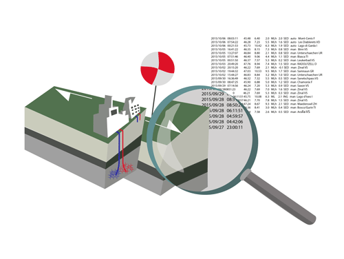
The Engineering Seismology group develops the basic tools and techniques used for local seismic hazard and risk assessment. These include catalogues of historical and instrumental earthquakes, reliable ground motion models, high-resolution geophysical models for numerical simulations of earthquakes in order to interpret historical observations and earthquake recordings at seismic stations. Engineering seismologists produce local seismic hazard maps (microzonation) and link the results to data on building vulnerability so that dependable risk assessments can be carried out. Special consideration is given to earthquake-induced phenomena including the triggering of rock-fall, landslides, liquefaction of soils, and lake tsunamis.
To develop these tools and techniques, the Engineering Seismology section is divided into four research groups that focus on specific domains, but often also study shared topics of interest. The section is headed by Professor Dr Donat Fäh.
This group studies the effect of the geophysical properties of the near-surface and the topographical morphology on the earthquake ground motion. The field of research therefore combines empirical observations of local seismic responses with in-situ geophysical measurements and indirect information from layers of diffuse knowledge (such as geological maps and digital elevation models). Strategies to investigate the relationship between site amplification and local morphology include joint geological-geophysical modelling, statistical analyses and machine-learning techniques.
Typical applications of local amplification studies consist in the implementation of the site-response layer in the framework of wider projects of seismic risk assessment – at various extents, from the national scale to high-resolution local studies (e.g. microzonation). Other applications relate to the representation of the local seismic response in seismic building codes.
The Strong Ground Motion and Site Characterization group develops and applies new tools and techniques in order to perform site characterization measurements in Switzerland. The group is responsible for the upgrade and expansion project of the Swiss Strong Motion Network (SSMNet) until 2021. The properties of the local underground at each new permanent seismic station are determined using geophysical and geotechnical measurements, enabling us to better interpret the earthquake recordings of the stations. The efforts of the group contribute to the improvement of the seismic hazard assessment in Switzerland.
The Ground Motion Modelling research group works on methods for numerically simulating the impact of earthquakes. Earthquakes are modelled when there are no instrumental recordings, i.e. particularly for large, damaging earthquakes and sites close to seismic sources. One way of doing this is to calibrate site-specific ground motion attenuation models. Another is to use deterministic modelling of the rupture process and of wave propagation for scenario earthquakes. However, local geological properties must always be properly factored in. The recordings at seismic stations are used to calibrate the numerical models.
Earthquakes are not the only events that cause damage to buildings and infrastructure: secondary earthquake-induced phenomena can wreak havoc as well, for example through soil liquefaction, landslides and tsunamis on lakes triggered by underwater landslides. This is the focal point of the Earthquake-Induced Phenomena research group. One aim of our earthquake research is to characterise such phenomena with a view to seismic hazard analysis and the recognition of early indications of mass wasting (ground movements) based on giveaway seismic signals. Other phenomena to watch for are short-term foreshocks prompted by processes in the earth's crust, which can produce characteristic electromagnetic and geochemical signals.
The Historical Seismology and Palaeo-Seismology research group analyses earthquakes predating the establishment of the modern seismic network in the mid-1970s. Data on earlier earthquakes provide important information for anticipatory mitigation measures and enable us to pinpoint where events occurred and estimate their magnitude. Damaging powerful earthquakes are relatively rare in Switzerland, so no instrumental data on them are available yet. Consequently, we have to draw on chronicles from the past, analyse this information using historical methods, and use palaeoseismological methods to interpret geological traces of major earthquakes.
