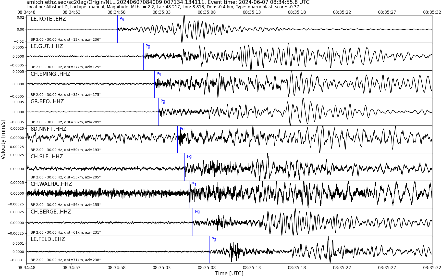
| Local time | 2024-06-07 10:34:55 |
|---|---|
| UTC Time | 2024-06-07 08:34:55 |
| Event Type | quarry blast |
| Latitude / Longitude | 48.22 / 8.81 |
| Swiss Coordinates | 702182 / 341662 |
| Magnitude | 2.2 |
| Magnitude Type | MLhc |
| Location | Albstadt D |
| Depth [km] | - |
| Location Type | manual |
| Agency | SED |
| Last Update | 07-06-2024 08:40:13 |
| Danger level | 0 (as defined by federal agencies with responsibility for natural hazards) |
| Origin ID & Metadata | smi:ch.ethz.sed/sc20ag/Origin/NLL.20240607084009.007134.134111 |