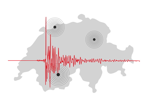
Swiss Seismological Service
The Swiss Seismological Service (SED) at ETH Zurich is the federal agency for earthquakes. Its activities are integrated in the federal action plan for earthquake mitigation.


Swiss earthquakes counter
| since |
01.01.2025
000
|
|---|
Felt earthquakes
|
Local Time |
Mag. |
Location |
Felt? |
|---|---|---|---|
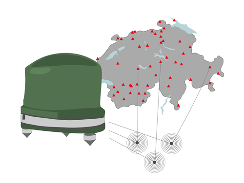
| 2025-06-13 06:54 | 2.6 | Schuepfen BE | Felt |
| 2025-06-09 16:29 | 2.6 | Porrentruy JU | Slightly felt |
| 2025-05-06 03:40 | 3.8 | Grenoble F | Slightly felt |
| 2025-05-04 13:30 | 3.1 | Muerren BE | Slightly felt |
| 2025-04-30 21:01 | 2.5 | Aosta I | Slightly felt |
| 2025-04-30 00:28 | 2.6 | Porrentruy JU | Slightly felt |
| 2025-04-19 10:27 | 2.6 | Saas Fee VS | Slightly felt |
Latest earthquakes
|
Local Time |
Magnitude |
Location |
|---|---|---|
| 2025-07-13 05:34 | 1.2 | Steckborn TG |
| 2025-07-13 04:58 | 1.0 | Sion VS |
| 2025-07-13 04:50 | 0.6 | RADOLFZELL D |
| 2025-07-12 01:54 | 1.7 | BESANCON F |
| 2025-07-12 00:11 | 0.5 | Sanetschpass VS |
| 2025-07-11 18:49 | 0.2 | Porrentruy JU |
| 2025-07-10 23:28 | 0.5 | Muerren BE |