Earthquakes in Switzerland seriously threaten society and human beings (KATARISK, 2003). Although damaging earthquakes are rare when compared to more seismically active regions, such events have occurred and will continue to do so. Over the past 700 years, a total of 28 events of a moment magnitude Mw≥5.5 are known, twelve of which caused severe damage (Intensity of VIII or higher).
Moderate to high seismic risk in Switzerland results from high population density and high degrees of industrialization, as well as from low preparedness. Since earthquakes strike generally without warning and exhibit relatively long return periods of strong ground shaking, the best preparation modern society can achieve is to upgrade the building stock, infrastructure and critical facilities so that damage is minimized. The input for all measures of risk mitigation is assessment of the different hazards associated with earthquakes through advanced technology.
The Valais is the area of greatest seismic hazard in Switzerland and has experienced a magnitude 6 or larger event every 100 years (1524, 1584, 1685, 1755, 1855, 1946), with the last magnitude 6.1 earthquake in 1946 close to Sion and Sierre (Figure 1). This area and in particular the region of Visp hold special interest: on average the Visp region has been struck by damaging earthquakes every 40 years (Intensity VI-VIII), with the last in 1960 reaching a macroseismic intensity of VIII. The Visp event of 1855 was the largest in Switzerland for the last 300 years. Besides its seismic activity, the test area in the Valais is characterized by several factors adding to the total hazard level: rough topography, unstable and steep slopes, deep sediment-filled valleys, and wide glacier- and snow-covered areas. On the one hand, during the Brig event (Mw=6.1) in 1755, the Visp event in 1855 (Mw=6.4) and the Sion/Sierre event in 1946 (Mw=6.1) the area experienced great damage from earthquake ground motion and different secondary phenomena such as liquefaction in the Rhone plain, landslide reactivation and extended rock fall. On the other hand, we expect that smaller and more frequent earthquakes induce large ground motions locally, as well as small-scale movements and failures on critically stressed slopes. Earthquakes also degrade rock mass strength and thus add to landslide preparation.
Due to river regulations and engineering progress in the last two centuries, seismically unfavourable sites have become attractive for expanded settlement and industries. During the last century, many villages grew into the Rhone plain and expanded near hazardous slopes in the valleys. They are still growing. Future earthquakes will therefore cause more damage than was observed in the past. For this reason we must recognize and map potential areas, estimate ground motion and non-linear behaviour for engineers and planners, and provide adequate estimates for the building code.
While predicting damaging earthquakes remains currently impossible, it is important to lay a solid foundation for improving our ability to forecast them. Although the Visp area shows only moderate seismicity on a worldwide scale, the region offers an excellent opportunity to observe and study the preparation processes for a moderate to large event in the Alpine collision zone. The probability of observing a major earthquake in the next 40 years is high and the proposed project is a first step in studying its preparation. Moreover, it will allow us to set up a scientific base for detailed monitoring and analysis. Due to the limited size of the area where the next large earthquake in the Valais might occur, this region is one of the best natural observatories in Europe. To ongoing surveillance and seismic hazard assessment, the proposed project therefore adds two new elements: 1) interdisciplinary investigation and monitoring of short and long-term earthquake preparation processes at a regional scale, and 2) study of complex non-linear surface effects induced by seismic strong ground motion at a local scale.
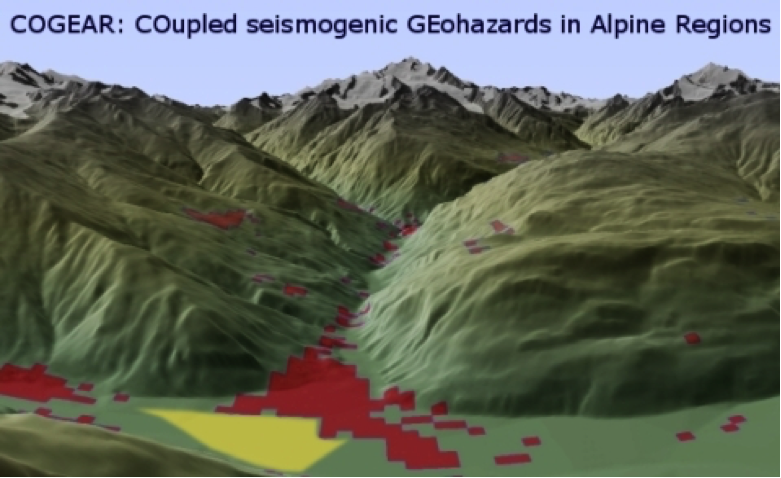
COGEAR proposes research with a long-term perspective, including a follow-up study that will focus on assessing risk. The monitoring system is key. It is focused on the Valais and in particular on the epicentral areas of the 1755 and 1855 earthquakes, including the Rhone river plain at Visp and the Visper and Matter valleys. The following networks and sites are proposed in the project COGEAR:
- A dense regional network for monitoring crustal deformation, seismicity and possible active faults (entire Valais), including seismic stations in boreholes;
- Local strong-motion networks for monitoring earthquake ground motion and 3D site-effects at Visp and St. Niklaus;
- Test sites for studying site effects, non-linear phenomena in liquefiable soils and related pore pressure effects (Visp);
- Test sites on landslides to study site effects and dynamic loading of landslides in relation to topography, geological disposition, kinematics and (static/dynamic) slope stability (Matter valley);
- Installations, including electromagnetic and geo-chemical sensors, to monitor possible short-term precursors of earthquakes.
- Seismic monitoring of buildings in the Visp area.
Such a monitoring system will be innovative for the Swiss as well as the international scientific community, and will provide data of unique value and quality. We expect that these systems will be operational for many decades, with a high probability that they will monitor the next damaging earthquake in the Valais.
Publications & Products
